

Showing posts with label Maps. Show all posts

Tuesday, June 29, 2010

Tweets from Roosvelt Island Ridge


Apparently the folks at University College London have created a contoured NYC map based on Tweet traffic naming sites across NYC and other major cities. Apparently the number of tweets referring to Roosevelt Island are substantial enough that the contour designation of a ridge applies to us on par with Williamsburg.


See "Roosvelt Island Ridge" underlined in red. Now the question is whether the spelling error is indicative of how often those tweets mispell Roosevelt as "Roosvelt" or if the folks in London can't spell themselves.


Tuesday, August 11, 2009

NYC Population Map: Day vs Night


Via twitter comes to us the above image of the day vs. night population of New York City. It appears the representation of Roosevelt Island appears accurate to show decreases at night at the hospitals and increases at the residential centers.

Double click to enlarge the above image. Pretty cool.

Tuesday, April 21, 2009

Trip / Distance Websites Don't Always Apply Here


Update: After playing a bit with the site described below it is not so far off to be unreasonable but still generally these things don't work from Roosevelt Island.

<><><><><><>

It's unfair to be from Roosevelt Island and to hope that new transportation calculation websites like "TripTrop NYC" will actually apply and work for us. Unfair to us and to the web site being reviewed.

According to the site's creator (via Gothamist) "you put in an address in New York and it overlays a map of how long it takes to get anywhere else in the city via subway and walking,"

If only it was true with regards to our little island. The time zones shown for Zip Code 10044 seem wonderful but in reality it just can't be. I seem to recall the same issues when reviewing a walking distance website some time back.

Tuesday, September 2, 2008

Puzzling How Roosevelt Island is Center of Universe?


Not sure what to give that Aunt that never quite understands where Roosevelt Island is no matter how many times you explain it? Send her a personalized 400 piece puzzle with your Roosevelt Island address as the center point of the puzzle.

Thank Hammacher Schlemmer for allowing you to prove to your Aunt that we are indeed the center of the universe ... at least so far as a 18 ½” by 12 ¼” puzzle will allow.

Monday, April 21, 2008

FDR Isle Reverts to Welfare Isle During Pope Benedict's Visit to NYC


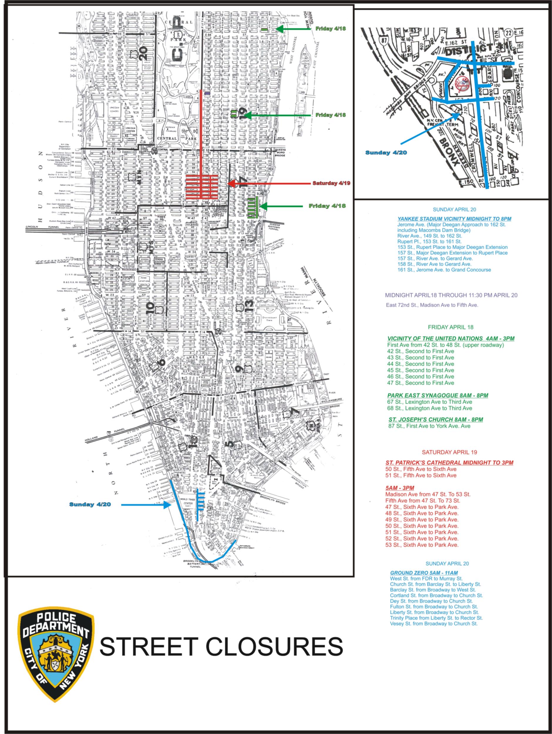
According to a NY Daily News article posted today that the NYPD website upon posting a street closure map this past weekend used a 1960's era map where Roosevelt Island was still listed as Welfare Island.

Maybe the Pope was not a fan of FDR or the City just wanted to look like it did more for those in need?